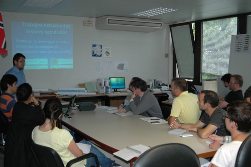
Submitted by laborate on Tue, 01/10/2013 - 09:53 GMT.
The last September 27th Diego Pacheco has presented in LaboraTe
the Spatial Data Infrastructure in the Universidad del Azuay
(Cuenca, Ecuador) and GIS web applications developed to
manage the territory and its resources
Within web technologies there are established mechanisms
to publish cartographic information. This technology enables
us to publish cartographic map servers through a standard,
enabling data interoperability worldwide. As a result, spatial
data infrastructure and sig web have been growing rapidly
in recent years. Through the use of geographic information
technologies, the IERSE (Instituto de Estudios de Régimen
Seccional del Ecuador de la Universidad del Azuay)
has carried out projects, studies and research related
to the generation of digital cartography, implementation
of geographic information systems, digital processing of
satellite images, measurements with the global positioning
system GPS, as well as the generation of base and thematic
information from digital photo-restoration.
More information