Knowledge transfer
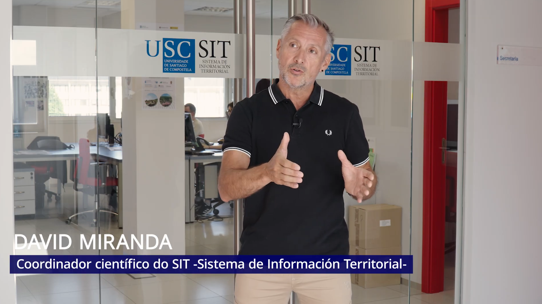
SIT Platform
The USC Territorial Information System (SIT) is a scientific‑technological platform of the Campus Terra, built upon the knowledge generated by the Land Lab.
Terractiva
TERRACTIVA is born as an operational groupco‑funded by the European Agricultural Fund for Rural Development (EAFRD) under the Rural Development Programme (RDP) of Galicia 2014–2020. Its purpose is to improve technical capacities and generate resources to strengthen support for new entrants in the process of joining the agricultural sector. It is based on two main objectives: to propose a methodological framework and a set of tools to facilitate access to agricultural land, and to support incorporation into agroecology.
EU CAP NETWORK
EIP-Agri
The EU CAP NETWORK | EIP‑AGRI is promoted by the European Commission and works to connect farmers, livestock breeders, advisors, researchers, companies, NGOs, citizens, and other stakeholders, with the aim of strengthening knowledge flows and accelerating innovation in agriculture, forestry, and rural areas. Its activity is structured around an interactive innovation model that fosters practical collaboration among different professional profiles.
Galician Observatory of Land Mobility
This Observatory was created with the aim of compiling, processing, and disseminating annual information on rural land mobility in Galicia. Its objective is to enhance market transparency and better understand the dynamics affecting this land at parish/municipal level and across the region of Galicia as a whole. Ultimately, this knowledge supports the design and implementation of public policies aimed at improving land use and the management of territorial resources, while also providing data that help guide private stakeholders’ decisions.
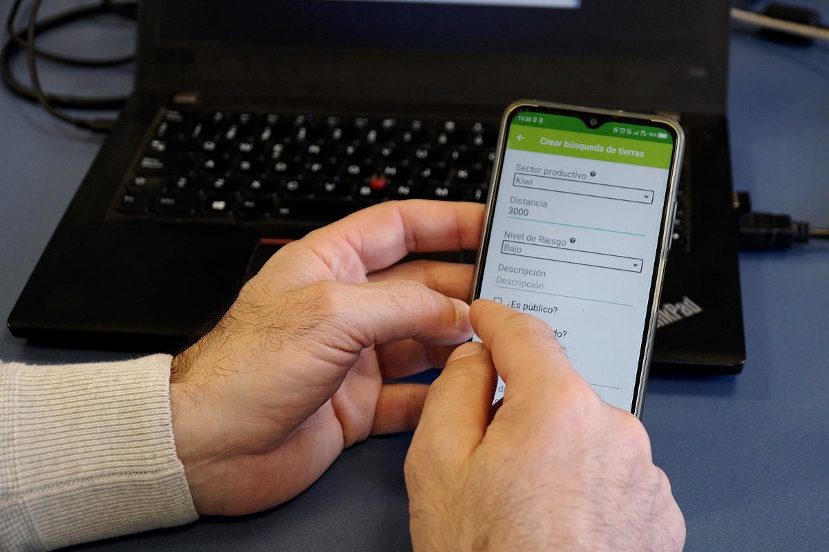
SITe
SITe is a set of geographic information tools for territorial planning and support of land management. It is a dynamic system developed by the Land Lab. SITe independently brings together various software solutions for the visualization, editing, and processing of spatial information, with the goal of making them accessible to anyone interested or involved in territorial management. In particular, it seeks to facilitate the dissemination of territorial knowledge and to improve land‑management decisions and practices.