Geodata science
Geodata science is an interdisciplinary field that leverages the spatial component of data to understand the foundations of territory from a human perspective, its evolution, and its potential future in a comprehensive way. Grounded in mathematics, remote sensing, engineering, and computer science, its methodology includes the refinement of mathematical models, the development of geospatial analysis algorithms for multi-objective simulation and optimization, the use of classical statistics, machine learning techniques, big data analytics, and high-performance computing to collect large volumes of complex data, analyze them, draw conclusions, and provide comprehensive information about the territory. It needs databases containing spatial information, satellite imagery, LiDAR point clouds, land information systems, web maps, and more traditional data sources as land parcels and official statistics, atlases from various disciplines, and fact sheets.
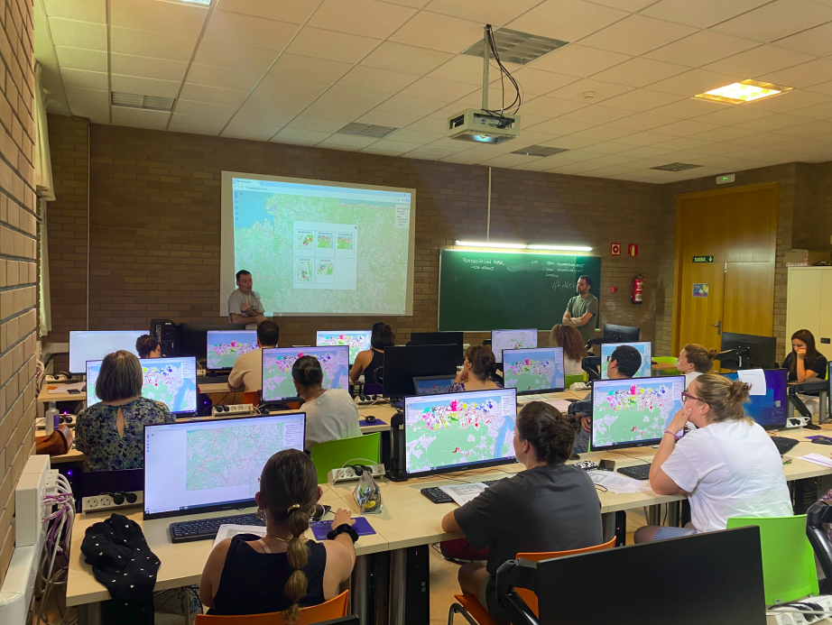
For the laboratory’s stated objectives (land-use planning and transition, changes in land use and ownership, land management for addressing abandonment, food systems, green infrastructure, and ecosystem services), the fundamental tool is geographic information systems (GIS), which provide spatial analysis capabilities so that users can understand patterns, relationships, and the context of the territory, with the ultimate goal of making informed decisions.
Complementarily, the laboratory’s work in geodata science rests on three main pillars:
1. The availability of large volumes of high-quality data, generated over years of work in these lines of research, that are clean, metadata-enabled, dated, and focused on the territory from multiple perspectives. To make this information available to all members and ongoing projects, an internal spatial data infrastructure has been developed and is constantly expanding.
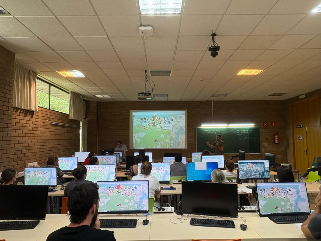
2. The development of proprietary geospatial algorithms for modeling and heuristic simulation, to propose non-analytical solutions to land-use planning problems. These algorithms run on proprietary infrastructure, developed specifically for them, but can be migrated to large computing centers in the future. Furthermore, where possible, they are also implemented as desktop system extensions (preferably on open-source software such as QGIS) to facilitate access and use of these tools for non-specialists.
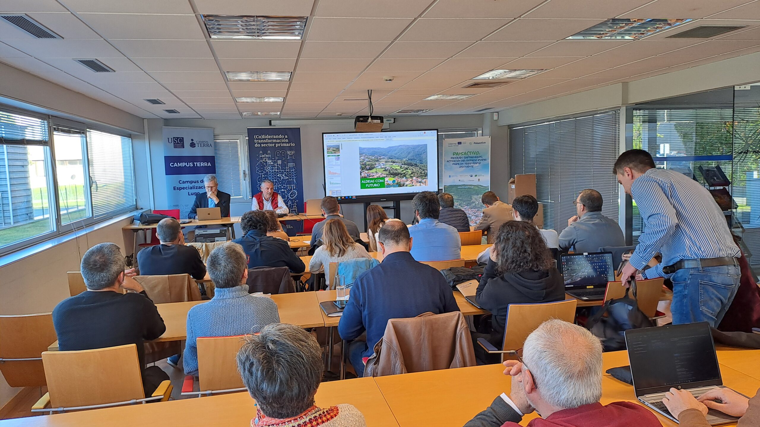
3. A focus on web technologies to facilitate the participation, dissemination, and visualization of spatial information, which includes both viewers and web SIG tools, as well as a platform for public participation.