Inés Santé Riveira
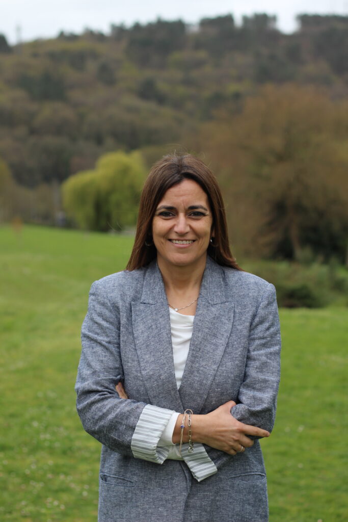
MEMBER
Inés Santé Riveira holds a PhD in Agricultural Engineering from the University of Santiago de Compostela, with a thesis about rural land use planning which received an outstanding doctoral award. Her research lines include spatial planning, models and techniques for land use planning (multicriteria analysis, heuristic optimization and urban cellular automata), landscape planning and management, Geographic Information Systems, Spatial Decision Support Systems, public participation in land use planning and PPGIS, land management instruments and rural development.
Since 2005 she has been on the faculty of the Department of Agricultural and Forestry Engineering at the University of Santiago de Compostela, where she is currently professor of GIS and land use planning. From 2015 to 2018 she was director of the Institute for Land Studies of the Regional Government of Galicia, where she led the development of the Landscape inventory of Galicia, the Guidelines of colour and materials of Galicia, the Guidelines for characterization and landscape integration of fences and the Strategy of green infrastructure of Galicia. From 2020 to 2024 she was general director of rural development and of the Galician Agency for rural development of the Regional Government of Galicia, contributing to the approval and application of the Law for the recovery of farmland in Galicia.
She has been researcher in more than ninety research projects and contracts, author or co- author of more than sixty research publications, among them more than thirty JCR papers, eight books, seventeen book chapters and other publications.
Email: ines.sante@usc.es
ResearchID: http://www.researcherid.com/rid/D-4074-2011
ORCID: https://orcid.org/0000-0002-1168-6605
Scopus Author ID: 6504450302
| End date | Lines | Title and Researchers |
|---|---|---|
| 2006 | - | Introducción a los Sistemas de Información Geográfica 👥 Rafael Crecente Maseda, Marcos Boullón Magán, Inés Santé Riveira, David Miranda Barrós, Miguel Cordero Souto, Manuel Pérez Gómez |
| 2006 | - | Realización de cartografía 1:2000 👥 Rafael Crecente Maseda, Manuel Pérez Gómez, Inés Santé Riveira, David Miranda Barrós, Miguel Cordero Souto |
| 2006 | - | Realización de actividades para el cumplimiento de la meta instrumental para el fomento de la investigación estadística en temas de interés para Galicia 👥 Rafael Crecente Maseda, Inés Santé Riveira, Marcos Boullón Magán, David Miranda Barrós, Francisco Javier López González, Miguel Cordero Souto |
| 2005 | - | Implementación en soporte SIG de datos de ámbito municipal 👥 Rafael Crecente Maseda, Inés Santé Riveira, Marcos Boullón Magán, David Miranda Barrós, Francisco Javier López González |
| 2005 | - | Asesoramiento y asistencia técnica en el área de sistemas de información del territorio y elaboración de un S.I.G |
| Type | Year | Lines | Title and Authors |
|---|---|---|---|
| Publication | 2008 | - | GIS-based Planning Support System for rural land-use allocation |
| Conference | 2008 | - | Analysis of the factors that condition the expansion of a coastal village through cellular automata simulation |
| Conference | 2008 | - | ESIXE, A tool for space management in the university |
| Publication | 2008 | - | Algorithm based on simulated annealing for land use allocation |
| Publication | 2008 | - | Proxecto SIGN-II. Infraestructura de Datos Espaciais para o Territorio Rural de Galiza-Norte de Portugal 👤 S.A. para o Desenvolvemento Comarcal de Galicia (20 personas), Instituto Politécnico de Viana do Castelo (20 personas), Instituto para o Desenvolvemento agrario da Regiao Norte (1 persona), Associacao forestal de Portugal (3 personas), Direcciao regial de agricultura e pescas do norte (10 personas), Comissao de viticultura da regiao dos vinos verdes (2 personas), Universidad de Santiago de Compostela (22 personas), Abraira, M. S., Aller, D., Arias, A., Caridad, J. A., Cidrás, T., Cuñarro, C., Díaz, J. M., Dorrego, X., Fanego, F. J., Fernández, R. J., Ferradáns, P., Fortes, N., Gallego, M., García, E., Martín, A., Román, M. B., Rodríguez, M. J., Serantes, I., Suárez, J.R., Turrado, J. D., Alonso, J., Brito, M., Castro, P., Fernándes, S., Guerra, C., Mamede, J., Martins, H., Martins, L., Mendes, B., Mourao, I., Paiva, A., Paredes, C., Pereira, C., Rey, J., Rodrigues, A. C., Santos, S., Silva, S., Carqueja, M.C., Alves, R., Cunha, J., Lima, R., Brandao, L., Cunha, P., Duque, P., Gonçalves, J. L., Guerner, J., Lima, J. M., Lira, C., Oliveira, J., Ramadas, I., Santos, H., Reis, J. L., Valente, M. R., Afonso, A., Boullón, M., Caldeiro, J., Calvo de Anta, R. M., Corbelle, E. J., Cordero, M., Crecente, R., Díaz, C., Díaz, P., Gregorio, E., Guimarey, B., López, F. J., Luis, E., Matilla, N., Miranda, D., Ónega, F. J., Pérez, M., Reyes, F. R., Santé, I., Torrado, E., Varela, I., Vega, M. D. |