


Maria Jose Iniesto Alba
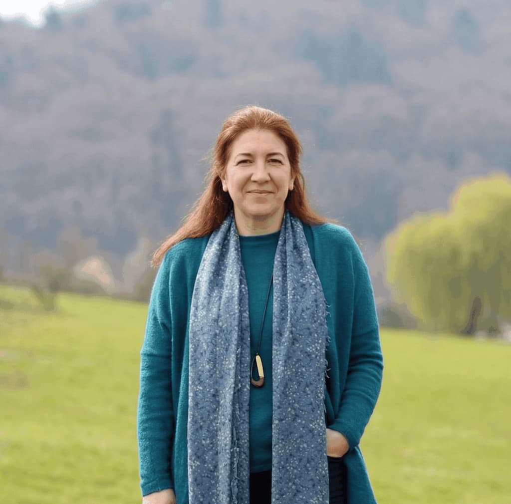
María J. Iniesto Alba holds a degree in Geodesy and Cartography, specializing in Environmental Thematic Cartography, a Technical Engineering degree in Surveying, and a DEA (Advanced Studies Diploma) in Geodesy and Geomatics. Coming from the private sector, she has over 25 years of experience in university teaching, lecturing in different undergraduate and master’s degree programs in the fields of Engineering and Architecture. Since 2003, she has been a lecturer in the Department of Agroforestry Engineering at the University of Santiago de Compostela, in the area of Cartographic, Geodetic and Photogrammetric Engineering, with her teaching activity based at the Higher Polytechnic School of Engineering (EPSE) on the Lugo Campus.
Her main area of work focuses on the acquisition, management and representation of geographic information, geospatial technologies, and Spatial Data Infrastructures. She has participated in R&D&I projects and contracts and is the author of several publications in this field. She has also coordinated the editing of various works in this area.
She has also been involved in numerous teaching‑related activities, including the development of study plans for different degree programs, and in 2004 she received one of the “4th University Educational Innovation Awards” from the USC.
Throughout her career, she has maintained a strong commitment to management, both professional and academic. She has served as Territorial Delegate‑President for Galicia of the Official Association of Geomatics and Topographic Engineering, Coordinator of the Degree in Geomatics and Surveying Engineering, Coordinator of Projects and Bachelor’s and Master’s Final Theses for the degrees in Geomatics and Surveying Engineering and for the Master’s Degree in Unmanned Aerial Systems, and currently she is a member of the management team of the EPSE, where she holds the position of Academic Secretary.
Contact: mariajose.iniesto@usc.es
Código ORCID: 0000-0003-0527-0184
| End date | Lines | Title and Researchers |
|---|---|---|
| 2008 | - | Instalación y gestión de una base permanente de GPS en el edificio CACTUS 👥 Rafael Crecente Maseda, Marcos Boullón Magán, Miguel Cordero Souto, Manuel Pérez Gómez, Inés Santé Riveira, David Miranda Barrós, María José Iniesto Alba |
| 2008 | - | Estudio topográfico de la muralla romana de Lugo y construcción de un sistema de información geográfica 👥 Rafael Crecente Maseda, Inés Santé Riveira, David Miranda Barrós, María José Iniesto Alba, Miguel Cordero Souto |
| 2008 | - | Actividades de asistencia técnica |
| 2007 | - | Actualización de la Encuesta de Infraestructuras y Equipamientos locales (E.I.E.L.) 2007 👥 Rafael Crecente Maseda, Inés Santé Riveira, Jaime Caldeiro Pérez, Manuel Pérez Gómez, David Miranda Barrós, Francisco Javier López González, María José Iniesto Alba |
| 2007 | - | Proyecto atlas de Galicia: una nueva herramienta para la enseñanza de la Cartografía II en el contexto de los ECTS |
| Type | Year | Lines | Title and Authors |
|---|---|---|---|
| Publication | 2026 | - | Análisis e integración de UAV para la documentación geométrica del patrimonio arqueológico y arquitectónico |
| Publication | 2021 | - | Infraestructuras de Datos Espaciales 👤 Iniesto Alba, M. J., Mª Amparo Núñez Andrés (UPC), Juan Carlos González González (UPC), Francisco Javier Ariza López (UJA), Manuel A. Ureña Cámara (UJA), Antonio F. Rodríguez Pascual (CNIG, IGN), Paloma Abad Power (CNIG, IGN), Pablo Carballo Cruz (IGN), Miguel Ángel Manso Callejo (UPM), Débora Rivas Fernández (UPM), Ramón Pablo Alcarria Garrido (UPM), Eloína Coll Aliaga (UPV) y José Carlos Martínez Llario (UPV). |
| Conference | 2008 | - | Evaluación de la calidad posicional de la cartografía catastral española. Un caso de estudio: Guitiriz (Galicia-España) 👤 Fernández Castro, P., Miranda Barrós, D., Iniesto Alba, M. J., Crecente Maseda, R., Carballo Cruz, P., Reyes, F. |