


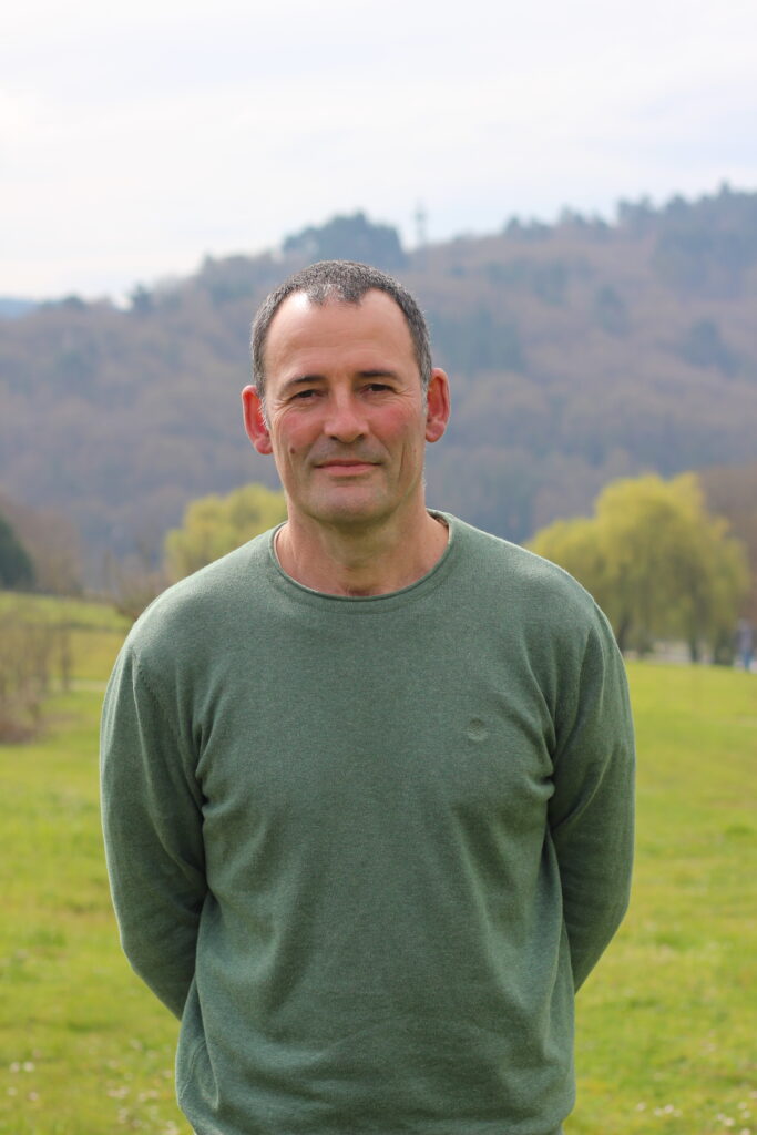
Miguel Cordero Souto
TECHNICAL
A forestry engineer, he has participated in several R+D+Innovation projects in the field of Geographical Information Systems (GIS) applied to land use planning, rural development and natural resource management, at local, regional and international level.
Since 2004 he has been the technical manager of the technological platform Territorial Information System (SIT) of the USC. He is specialised in GIS, spatial analysis algorithms, GIS for public participation (PPGIS) and in 3D capture and modelling of remote sensing data; terrestrial laser scanner, drones (with optical sensors and LiDAR) and Ground Penetrating Radar (GPR).
In the SIT training area, he organised and taught courses on SIX and remote sensing. He has participated as an expert, in the Master’s Degree in Sustainable Land Planning where he
contributed to the subjects of Geomatics and Spatial Information Capture Techniques.
He has experience in the management of communities of common woodlands, having been president and secretary of two of them in the mountains of Galicia. He is part-time farmer since 2013 in an extensive farm growing native breeds of goats and horses in the region of Ancares.
Email: miguel.cordero@usc.gal
Code Orcid: 0000-0002-8387-8892
| End date | Lines | Title and Researchers |
|---|---|---|
| 2006 | - | Introducción de los SIG. Herramienta ArcGIS y ArcView 👥 Rafael Crecente Maseda, Marcos Boullón Magán, Inés Santé Riveira, David Miranda Barrós, Miguel Cordero Souto, Manuel Pérez Gómez |
| 2006 | - | Introducción a los Sistemas de Información Geográfica 👥 Rafael Crecente Maseda, Marcos Boullón Magán, Inés Santé Riveira, David Miranda Barrós, Miguel Cordero Souto, Manuel Pérez Gómez |
| 2006 | - | Realización de cartografía 1:2000 👥 Rafael Crecente Maseda, Manuel Pérez Gómez, Inés Santé Riveira, David Miranda Barrós, Miguel Cordero Souto |
| 2006 | - | Realización de actividades para el cumplimiento de la meta instrumental para el fomento de la investigación estadística en temas de interés para Galicia 👥 Rafael Crecente Maseda, Inés Santé Riveira, Marcos Boullón Magán, David Miranda Barrós, Francisco Javier López González, Miguel Cordero Souto |
| 2004 | - | Apoyo a iniciativas productivas y ejercicios de derechos de mujeres de Manglaralto, Santa Elena (Ecuador) |
| Type | Year | Lines | Title and Authors |
|---|---|---|---|
| Patent | 2026 | - | PPGIS APP |
| Patent | 2026 | - | PPGIS WEB |
| Publication | 2024 | - | Scaffolding geospatial epistemic discomfort: a pedagogical framework for cross-disciplinary landscape research 👤 Vincenza Ferrara, Flor Álvarez-Taboada , Gert-Jan Burgers, Eduardo Corbelle Rico, Miguel Cordero Souto, Eduardo Dias , Anneli Ekblom , Stefanos Georganos , Jeff Howarth , Maurice de Kleijn , Tommaso La Mantia , Niels van Manen , Giovanna Sala , Rafael da Silveira Bueno , Philip Verhagen & Anders Wästfelt |
| Publication | 2022 | - | SIXTUATE: Sistema de axuda á decisión para a localización de novas expotacións agrarias |
| Conference | 2020 | - | El proyecto agridemo-f2f como ejemplo de aprendizaje peer-to-peer |