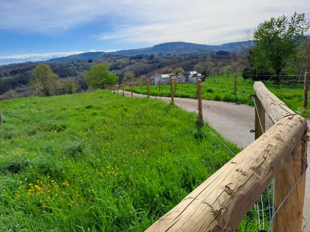
Spatial planning and territorial transition
Land use planning provides a foundation for the management and revitalisation of rural areas, enabling them to tackle today’s major demographic, economic and environmental challenges. Our research focuses on land use planning from a rural perspective, based on an analysis of the specific characteristics, potential and requirements of these areas, and adopting a holistic and integrated approach.
With this objective in mind, our research areas cover a range of topics:
- Spatial planning of agroforestry uses based on the physical, socio-economic and environmental land suitability. Analysis and modelling of the spatiotemporal evolution of land use for territorial diagnosis.
- The analysis and planning of rural population settlements, including infrastructure, services and facilities.
- The characterisation, assessment and planning of the landscape.
- The development of planning support systems based on geospatial information technologies and spatial simulation and optimisation models.
- The design and implementation of public participation and citizen science systems aimed at achieving more democratic and inclusive spatial planning processes.
O deseño e implementación de sistemas de participación pública e de ciencia cidadá destinados a acadar procesos de planificación territorial máis democráticos e inclusivos.
| Type | Year | Lines | Title and Authors |
|---|---|---|---|
| Publication | 2013 | Spatial planningGeodata science | Classification of rural landscapes from low-density lidar data: is it theoretically possible? 👤 Sandra Buján, Eduardo González-Ferreiro, Laura Barreiro-Fernández, Inés Santé, Eduardo Corbelle Rico, David Miranda |