Submitted by laborate on Wed, 28/03/2012 - 17:28 GMT.
OpenRULES
(Open RUral Land use Exploration System) is available for
free download at the USC's Land Laboratory (LaboraTe) web page.
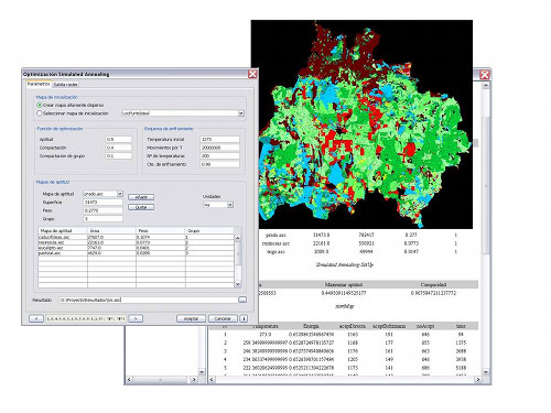
OpenRULES is a support system designed for assisting in
spatial and rural planning. It is based on two notable open
source GIS applications - gvSIG and Sextante -, on top of
which several analytical models that assist in the proccesses
of decision making are integrated. These analysis techniques
provide support for the three basic stages in a model of
land use management: assessment of land suitability for
different uses, optimization of the parcels for each land
use and spatial location of the different land uses. The
results are suitability maps for different land uses or
activities, optimal surfaces for rural land use maps and
optimal distribution of multiple land uses.
While fully functional, OpenRULES is also a work in progress
that any person, company, institution or organization or
institution working in spatial and rural planning can find
interesting. It is expected feedback is received in order
to add feautures to the application and achieve continuous
improvement.