Submitted by laborate on Thu, 12/09/2013 - 10:08 GMT.
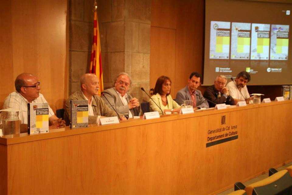
Urbano Fra has presented the Dictionary of Photogrammetry
Diccionari terminològic de Cartografia, that he
authored, at the Department of Culture of the Government
of Catalunya (Generalitat de Catalunya). This work,
published by the Mapping Agency of Catalunya (Institut
Cartogràfic de Catalunya), includes more tan 2000
terms of photogrammetry in catalonian. The terms are
also translated into English and Spanish.
This dictionary compiles the most contemporary concepts,
particularly those related with the digital processing of
aerial images, and the utilization of high resolution sensors,
as well as the classic concepts that have been developed
since photography started. The existing dictionaries are
outdated since they were published before these changes
took place particularly in the analysis and interpretation
of aerial images and the application of close range photography
to the analysis of cultural heritage and natural processes.
This represents an advancement in the standardization of
both scientific technical terminology in their use for elaborating
reports and academic papers.
The dictionaries of remote sensing, geographic information
systems, and mapping were presented in the same event, belonging
to the same book series. The four books put together more
than 10000 terms of these fields, all within Geomatics,
and become part of the linguistic corpus of catalonian.
The event had the participation of the Director of the Mapping
Agency of Catalonia, Jauma Miranda, the Director General
for language policy, Ester Franquesa, and Jordi Bover, Director
of TERMCAT, the public organization for the standardization
of terms in catalonian.
References