News
Amplíase ata o 31 de Outubro o prazo para a presentación de candidaturas á VII Edición dos Premios Rafael Crecente a Iniciativas Innovadoras en Xestión Territorial
A VII Edición dos premios amplía o seu prazo para a recepción de candidaturas ata o 31 de Outubro de 2024. A presente edición mantén a dotación económica (2.000€ para o primeiro pr…
Strategies for the revitalization of villages in Europe and Galicia: Smart Villages and Model Settlements
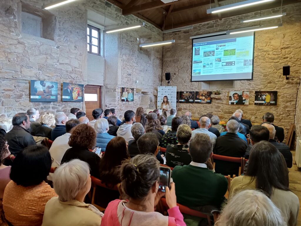
Inés Santé presented the European Smart Villages Strategy at the conference O Rexurdir das Aldeas (The Revival of Villages). The event was organised by the Juana de Vega …
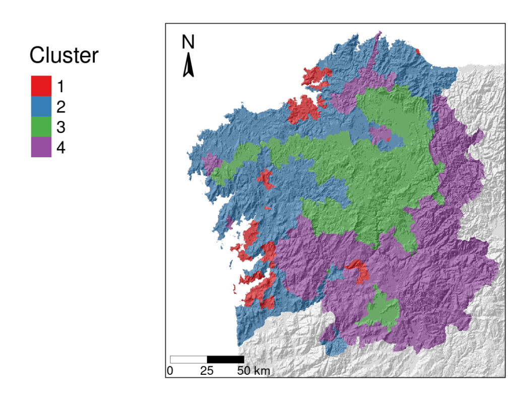
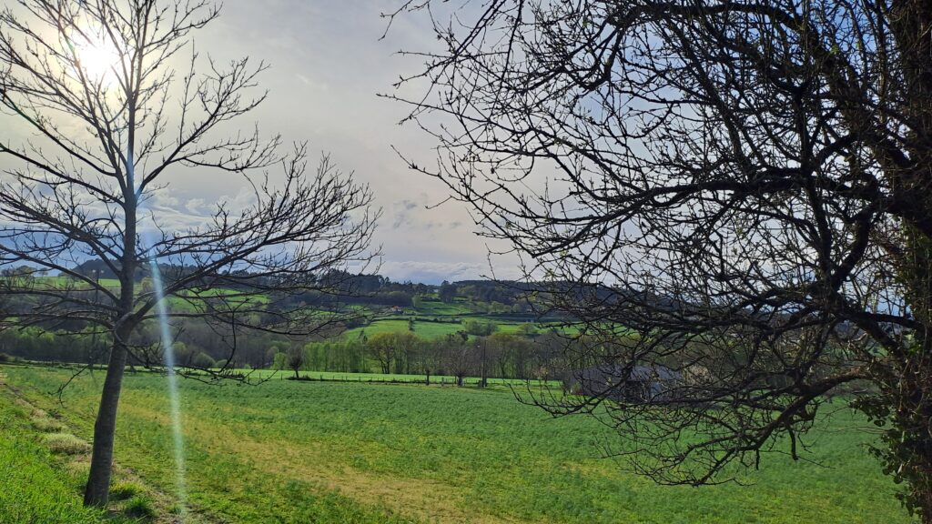
Abandonment and afforestation: a four-speed Galicia
The current landscape of Galicia is the result of the expansion of wooded areas throughout the twentieth century. During the last decades, the space dedicated to agricultural produ…
New entrants in the framework of changing rural territories and their adaptation to the different crisis and political and socio-economic trends
From November 6th to 8th, the XIV CIER took place in Coimbra bringing together sociology, economics and rural demography researchers, from the Iberian countries and Latin America. …
Rural land use planning in Galicia and the Inventory of agricultural and forestry land as an essential tool for agricultural and forestry productivity preservation
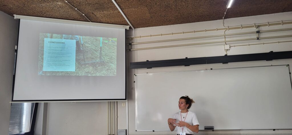
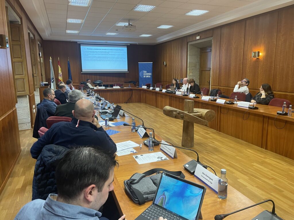
At the “I Meeting on Spatial Planning. Spatial Planning in Galicia: Assessment and Challenges” organized by the Economic Forum of Galicia on November 8th, Inés Santé part…
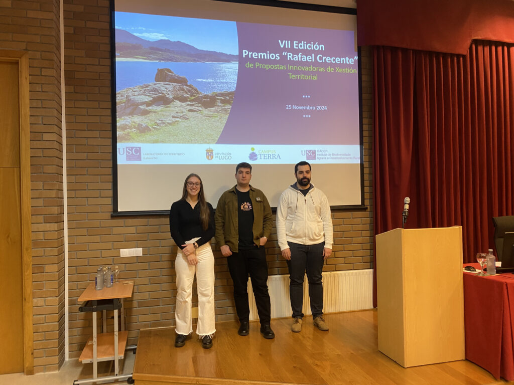
Alejandro, Lucía e Fernando, winners of the 7th Edition Rafael Crecente awards
On Monday, November 25th, the results of the 7th edition of the Rafael Crecente Awards were made public in a ceremony held at the Higher Polytechnic School of Engineering on the Ca…
Old news
In the following links you can see the old news prior to 2024